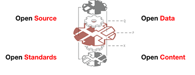
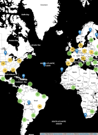
Here’s a blog post from ESRI about ESRI’s transition to open source, open development, and social coding.* It features GitHub pretty prominently, which continues to be an awesome resource for collaborative work — and not just for code. My colleagues and I have started using it for planning meetings and workshops, developing research papers, maintaining websites (this site is hosted on GitHub), and yes, even open source software projects. ESRI obviously also thinks GitHub is a useful resource, and their keynote for the ESRI DevSummit is GitHub CEO and Co-Founder Chris Wanstrath!
- Wed 12 March 2014 cfarmer
Maps as Art and Other Experiments
Fri 27 September 2013 cfarmerWith the recent (and long anticipated) release of Quantum GIS 2.0, there has been a lot of ‘buzz’ in the open source geospatial community about all the cool new features that QGIS now boasts, and how far it has come in such a short time. I was recently inspired by such a post by Anita Graser (aka Underdark) (who is a wonderfully talented cartographer/designer) on data driven labeling in QGIS, so I thought I’d throw something together on a gray Friday afternoon to test it out. I also wanted an excuse to play around with Reveal.js slides in IPython notebook, so I produced the following slide show using the images from QGIS and some IPython magic:
Essential Python Geospatial Libraries
Fri 12 July 2013 cfarmerJust so I don’t forget, here is a list of really awesome Python libraries that I’m using these days to do lots of fun things with spatial data [UPDATE: I’ve added a few more]:
- pandas - For data handling and munging
- shapely - For geometry handling
- cartopy - For plotting spatial data
- rtree - For efficiently querying spatial data
- nodebox-opengl - For playing around with animations
- statsmodels - For models and stats in Python (otherwise I’d use R)
- numpy - For pretty much anything that involves arrays
- geopy - For geolocating and things like that
- ipython - For a wondering interactive environment in which to play
- freetype-py - For converting font glyphs to polygons (odd I know…)
- ogr/gdal - For reading, writing, and transforming geospatial data formats
- pyqgis - For anything and everything GIS
- fiona - For making it easy to read/write geospatial data formats
- matplotlib - For all my plotting needs
- networkx - For working with networks (duh!)
- pelican - For blogging about all this stuff…
- pysal - For all your spatial econometrics needs (and more)
- descartes - For plotting geometries in matplotlib
Based on Twitter and some of the comments below, I should also add:
- geographiclib - For solving geodesic problems
- pyshp - For reading and writing shapefiles (in pure Python)
- pyproj - For conversions between projections
Any others I’ve missed?
Evolution is beautiful…
Wed 27 October 2010 cfarmerCheck out this video of the evolution of OpenSteetMap in Europe! It sure is cool to see how much ground a bunch of nerds with GPS units can cover! Link courtesy of slashgeo.org.
Open up your online maps with OpenStreetMap
Mon 26 January 2009 cfarmerOpenStreetMap (OSM) is a project designed to create and provide free spatial data (street maps) to anyone and everyone who wants them. It is based on an open-source philosophy, and combines wiki-like user generated data, with free access, allowing users to create, edit, download, and use OSM data to their hearts content. According to the OSM website, “the project was started because most maps you think of as free actually have legal or technical restrictions on their use, holding back people from using them in creative, productive or unexpected ways.” There are now tones of websites and open-source software projects that incorporate OSM data, and the growing popularity of the site means that the data is only going to get better (more accurate) and bigger (more data).
1 / 1

