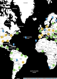
For those of you who are still unclear about what exactly a spatial reference system is, how it is used, and what it means for your data, I found a pretty good quick guide to spatial references, coordinate systems, projections, datums and ellipsoids. This article was written by Morten Nielsen (who works for ESRI), and it does a good job of quickly and simply describing what makes up a spatial reference system, and some of the errors that people make when talking about their spatial data.
Having a good grasp of this stuff is important when working with spatial data ...
